Welcome Back!
Jack and I went on another adventure. This time we did GeoCaching!
GeoCaching is an outdoor activity, in which participants use a Global Positioning System (GPS) receiver or mobile device and other navigational techniques to hide and seek containers, called “geocaches” or “caches”, at specific locations marked by coordinates. That’s the “official” definition.
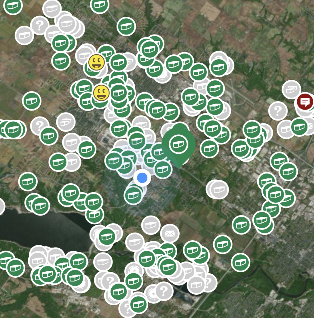
What jack did was upload the Geo Caching app, which shows all the hidden caches in our town. The greens represent a geo-cache and yellow smiley faces are the caches we have found!
We easily located our first Cache! It was a small cache (cash) that contained a few trinkets and a log book to sign with your geo-cache name. Jack and I were instantly hooked (doesn’t take much!)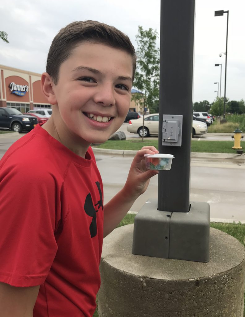
After a few geo-fails, ones we couldn’t locate due to not being kept up or others ruin them, we came across a large Cache. So exciting and easy to find because it was large!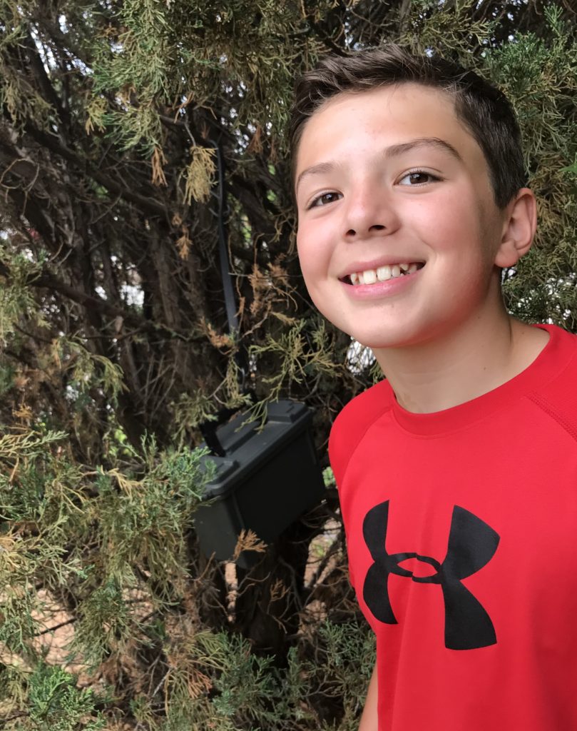
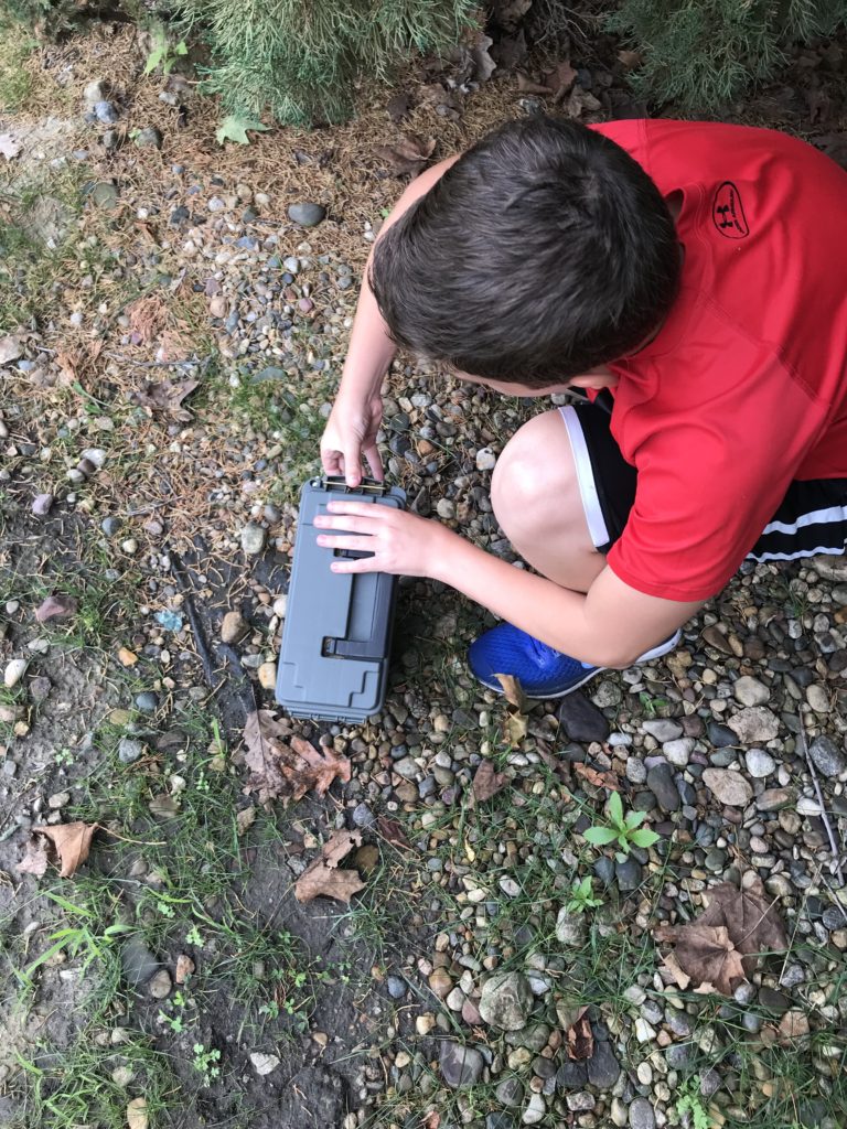
While trying to find the next cache on a trail, Jack spotted a deer walking along the trail! Wonder if she was Geo-Caching! After two hours and an incoming storm, we called it quits and decided we would hunt another day.
On this afternoon when we headed out and it was HOT! BIG mistake! Heat makes me tired and cranky. Not a good mix when you have to have some patients when looking for hidden trinkets. AND, we couldn’t find any caches which quickly becomes frustrating.
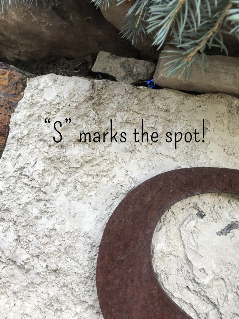
About an hour later, Jack finally found a micro-cache. It was located near a development sign with the clue “S marks the spot.” I looked and looked and finally started to head back to the car when Jack yelled, “I found it! It’s above the “S” in the sign!” Yea…that little blue spot is the cache.
The only item in the cache was a folded up piece of paper to sign. It was that small.
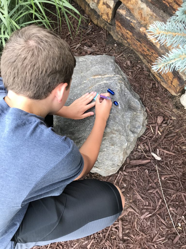
Needless to say, Jack signed the paper, we got into the air conditioning car and headed home. Geo-Caching is not for hot humid days due to the amount of walking you end up doing, but if it’s a cooler day, I would highly recommend going on a Geo-cache hunt!
